July 14 – 20, 2025
Phillipsdale Landing
Sondes were swapped this week on the morning of July 15th. Overall, the water quality at Phillipsdale Landing was fair this week. Weather conditions were dry, with only a trace of precipitation recorded at T.F. Green. The Blackstone River flow fluctuated throughout the week. Surface salinity averaged 12.6 ppt and ranged from 2.3 ppt to 24.0 ppt. At the bottom, salinity averaged 21.2 ppt and ranged from 10.3 ppt to 28.1 ppt. Temperatures averaged 25.7°C at the surface and 6.9°C at the bottom. Surface temperatures ranged from 5.6°C to 6.8°C, while bottom temperatures ranged from 6.1°C to 7.1°C.
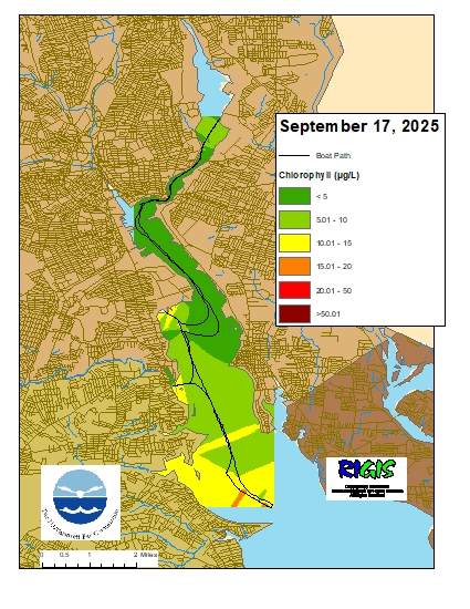
Dissolved oxygen (DO) at Phillipsdale Landing dropped below the hypoxia threshold (i.e., DO >2.9 mg/L) throughout the week. The longest periods of hypoxic conditions spanned 11.5 hours, occurring during the day of July 18th. During this period, the bottom DO averaged around 1.99 mg/L. Surface DO averaged 8.1 mg/L and ranged from 2.1 mg/L to 17.4 mg/L. Bottom DO concentrations averaged 2.6 mg/L and ranged from 0.3 mg/L to 9.7 mg/L. Chlorophyll readings increased from last week, averaging 46.4 µg/L at the surface and 28.2 µg/L at the bottom. Maximum chlorophyll at the surface reached 296.8 µg/L on the morning of July 17th. Please note that tidal fluctuations and Blackstone River flows greatly influence water column salinity, temperature, and DO at this location.
Bullock Reach
Due to water intrusion, Bullock Reach’s middle sonde was retrieved July 7th. No data is available at the mid depth this week. Overall, water quality was good to fair at Bullock Reach this week. Salinity averaged 25.1 ppt, and 30.3 ppt at the surface, and bottom sondes, respectively. Surface salinity ranged 22.3– 28.0 ppt, and bottom salinity ranged 28.3 – 31.1 ppt. Surface temperature averaged 25.5°C and ranged from 23.9°C to 27.7°C. Bottom temperatures averaged 21.7°C and ranged from 19.9°C to 26.4°C.
Dissolved oxygen (DO) at Bullock Reach remained above the hypoxia threshold (i.e., DO >2.9 mg/L) at the surface throughout the week, while DO at the bottom waters dropped below the hypoxic threshold throughout the week. Surface DO averaged 7.7 mg/L and ranged 5.7 – 10.7 mg/L. At the bottom, DO averaged 3.2 mg/L and ranged 2.0 – 5.6 mg/L. Chlorophyll readings ranged from low to elevated throughout the week. Readings averaged 22.3 µg/L at the surface, and 3.7 µg/L at the bottom. The maximum surface chlorophyll was 40.3 µg/L on the afternoon of July 15th.